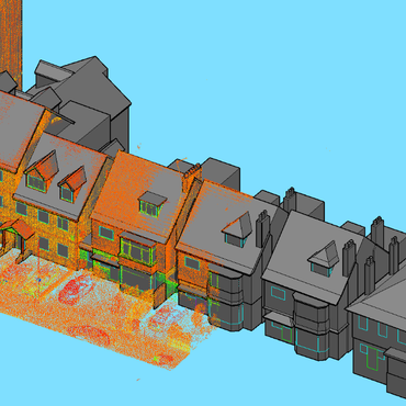
3D LASER SCANNING
Using the latest technology and software, we provide a range of scanning based services for all aspects of construction, architectural and planning projects.
This information can be supplied in a variety of formats from raw point clouds, to fully rendered 3D models.
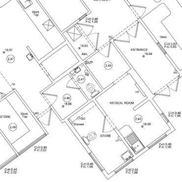
MEASURED BUILDING SURVEYSFloor Plans - Elevations - Sections
By combining a selection of techniques, and using industry leading software and data capture, we can produce traditional 2D Floor plans, Elevations and Sections, all the way up to 3D models (BIM) of your building. All tailored to your individual project needs and budget.
RIGHT OF LIGHT SURVEYS
By 3D laser scanning the built environment around your development, we can supply a detailed model from which analytical software can be used to calculate and assess any current or future impact your development may have.
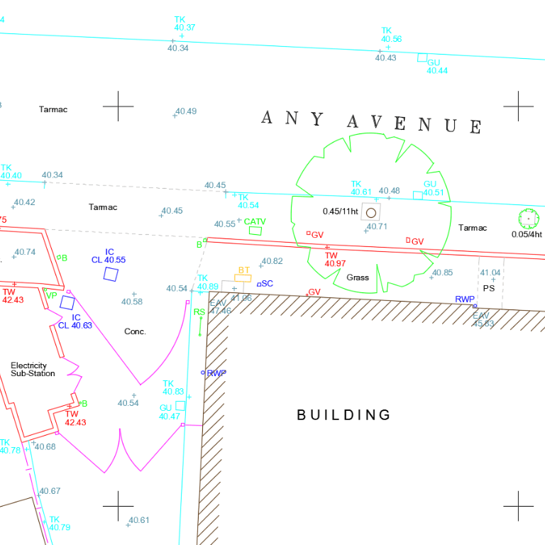
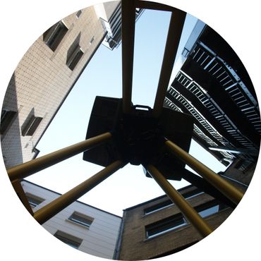
TOPOGRAPHICAL SURVEYS
Residential, commercial or engineering, City Geomatics can deliver a quick and cost effective Topographical survey solution with the use of robotic total stations, GPS and remote sensing equipment we can cover the most complex and challenging environments to meet your projects needs.